Recent weather events and the increased awareness around climate change really reinforce the importance of resilience and understanding the risk of natural hazards in our own communities.
The dynamic landscape of Tasman District means many residents likely have some experience or understanding of the natural processes their property may be susceptible to – whether it’s flooding, earthquake risk, or landslips.
To help everyone better understand, address and avoid natural hazard impacts, we are fortunate to have a team within our ranks with extensive knowledge of the subject.
The Natural Hazards and Geomorphology team provides advice across the Council and to the public about natural hazard processes, including sea-level change, coastal inundation and erosion, earthquakes, liquefaction, river flooding, and slope instability.
The team also provides advice on fluvial and coastal geomorphology, including monitoring and analysing changes in these dynamic environments. Plus, they are called upon for advice about Building Act hazard considerations.
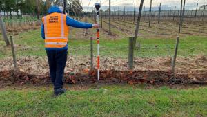
The team is passionate about providing advice that keeps people across the District safe and resilient to the effects of natural hazards, and they enjoy getting out into the field to monitor changes across beaches and rivers or to look at earthquake fault locations.
One of the best ways the public can see the fruits of the work the team does, and some of the data they base their decisions on, is to check out the natural hazards map viewer on our website. It includes a range of map layers, including excerpts from flood models, maps of historic flood extents, and measurements of rates of shoreline change. Check it out here.(external link)